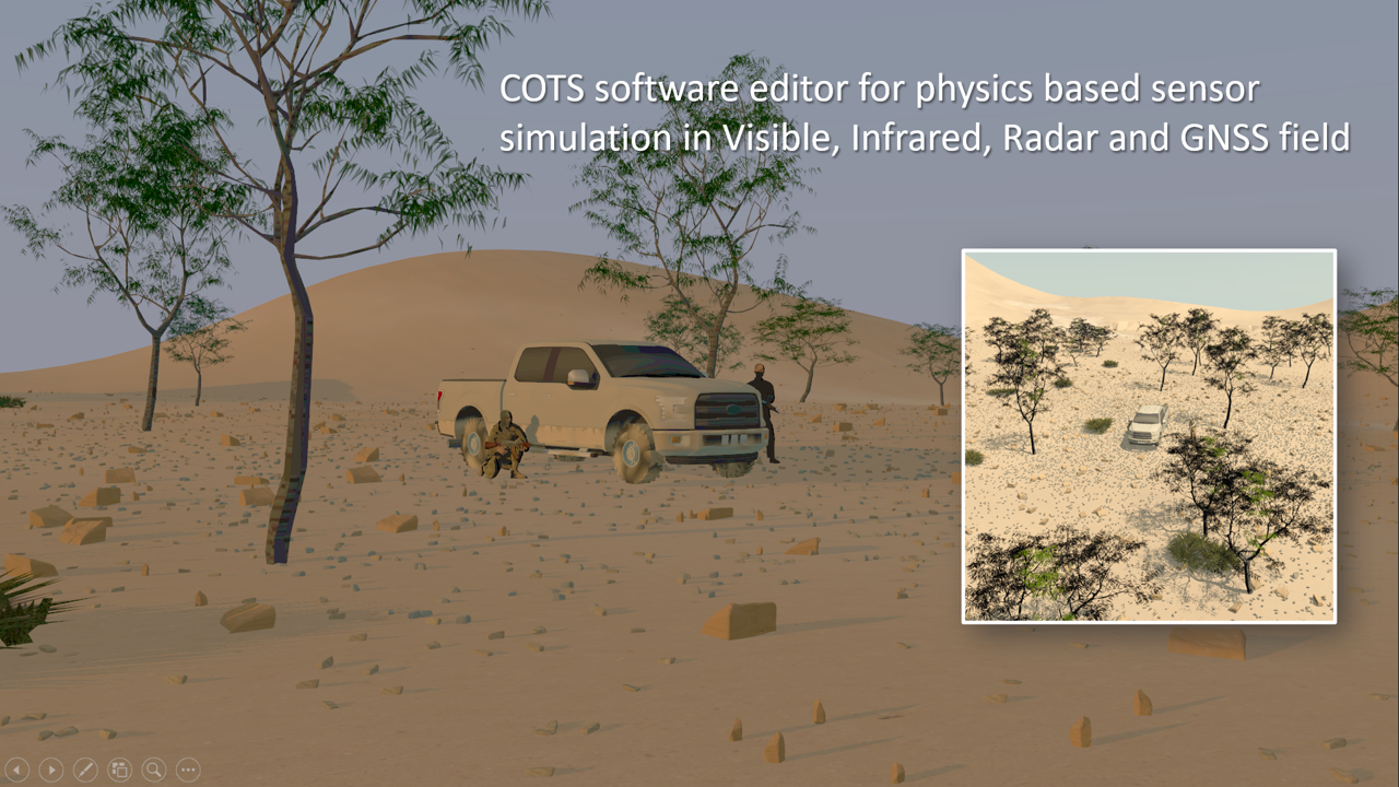
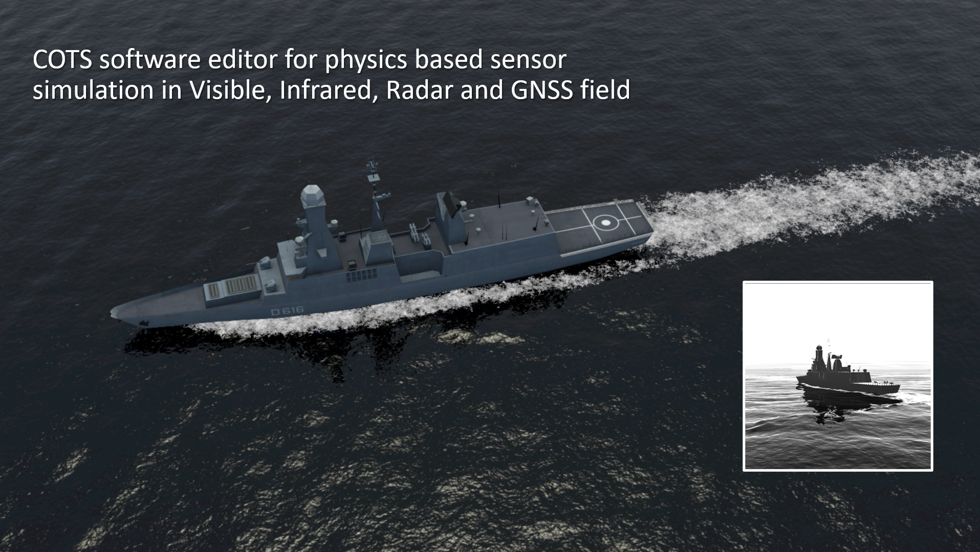
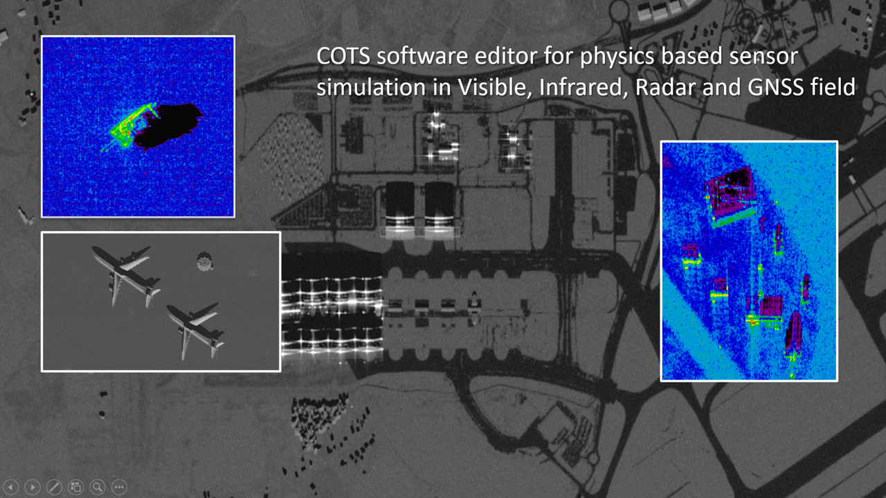
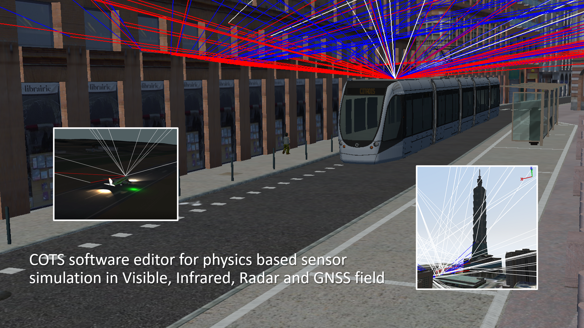
OKTAL-SE: Solution finder for physics based sensor simulation
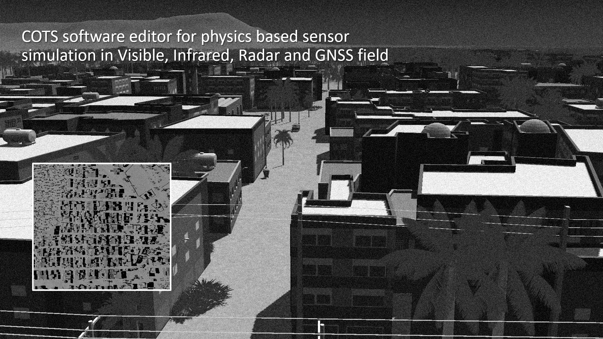
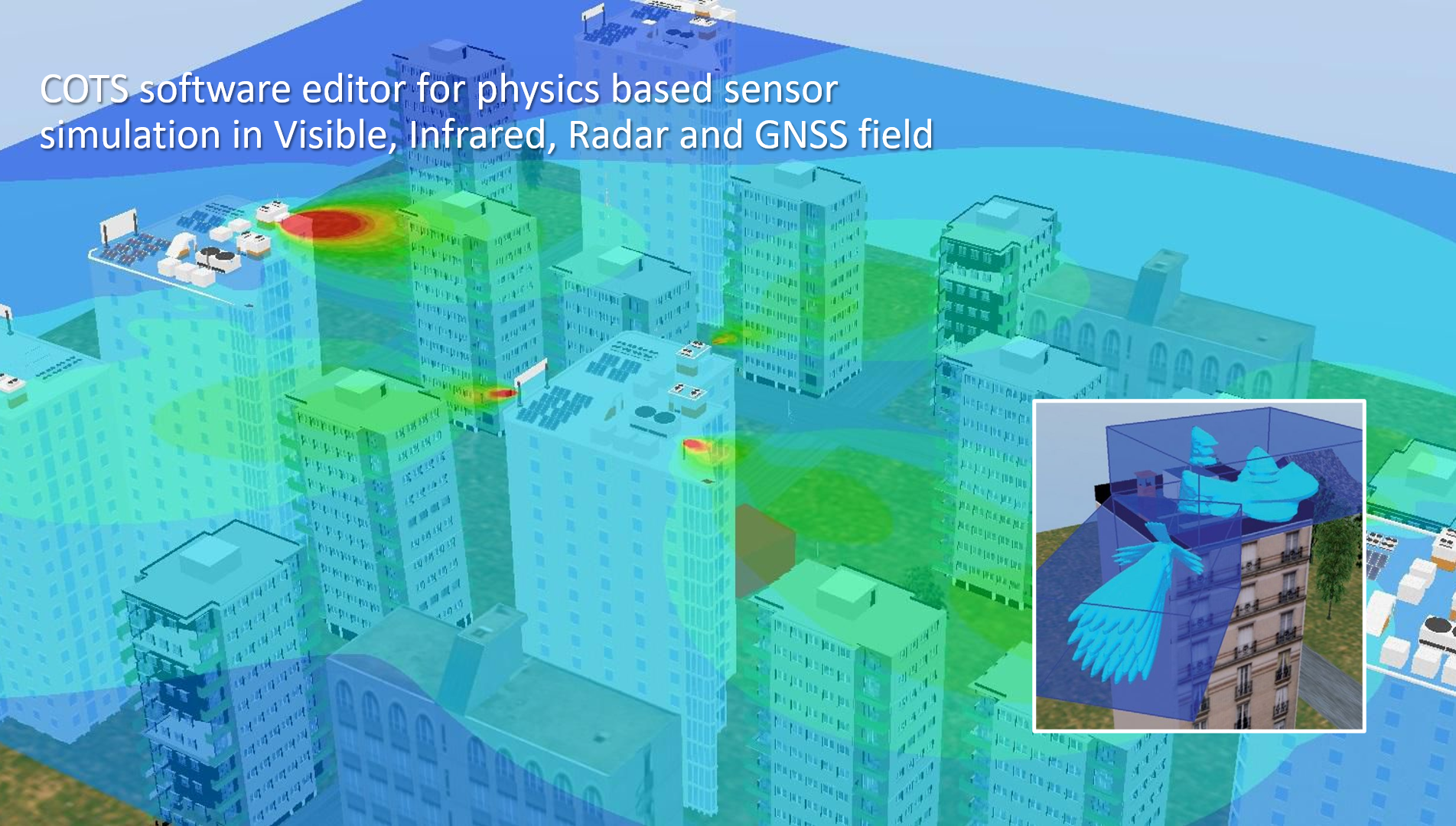
Our purpose is to provide customers with state of the art multi-sensor simulation software and services. Thanks to the reliability and the performance of our modeling and simulation COTS products, OKTAL-SE has become an international reference in terms of synthetic environment rendering software in both Electro-Optic (Visible, Infrared) and Radio-Frequency (Radar, GNSS) domains.
Ce Jeudi 14 Décembre, OKTAL-SE était à la rencontre des étudiants de Master à l’Institut de Recherche en Informatique de Toulouse (IRIT) pour y présenter ...